

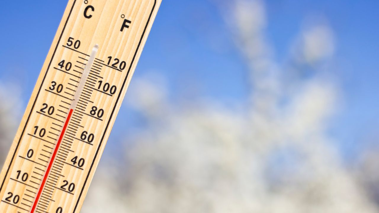
Spring’s only a week old in Brisbane and it’s already showing its hand. After a winter that turned out to be the warmest on record across large parts of Australia, the city is heading into a run of mild, mostly sunny days with a bit of smoke haze thrown in from the fires still burning out west. If you’re planning a weekend outside, here’s what’s actually coming.
The Bureau of Meteorology’s latest forecast has Brisbane starting the week with patchy smoke haze in the morning, clearing into a mostly sunny afternoon. That haze isn’t random. With 78 bushfires reported across south-east Queensland over the weekend, including the one that shut the Warrego Highway near Plainland, smoke has been drifting into the city on light winds from the west. It’s not thick enough to cause major air quality alarms in town, but if you’ve noticed a slightly hazy sky the past couple of mornings, that’s why.
Winds through the week are staying gentle, mostly 15 to 20 km/h, shifting from easterly to northeasterly in the afternoons before dropping off in the evening. Nothing dramatic. There’s a chance of a shower or two clearing early in the week, then a stretch of partly cloudy days with a medium chance of showers building back in toward the middle of the week. So don’t put the umbrella away just yet, even if the mornings look clear.
UV is worth paying attention to. The Bureau’s putting it at 7, which sits in the High category, with sun protection recommended from around 8:40am through to 2:50pm most days. That’s a wide window, and it catches a lot of people off guard this early in spring because the air temperature doesn’t always feel like it matches the UV risk. You can be sitting outside at a café in a t-shirt at 20 degrees and still burn just as fast as you would in January if you’re out there past mid-morning without sunscreen.
Temperature-wise, this is shaping up to be a genuinely warm spring. Parts of south-east Queensland already pushed past 30 degrees over the weekend, marking the hottest September day the region has seen in years. That’s not a one-off blip either. Long-range outlooks are pointing to warm seas near Australia potentially working against the usual drying effect of El Niño this spring, which is a fairly technical way of saying the weather patterns feeding into this season are a bit unusual, and it’s worth keeping an eye on how they play out over the next couple of months.
For anyone planning a weekend around the river or out at the coast, the good news is conditions look genuinely pleasant. Mostly sunny days, light winds, comfortable afternoon temperatures. It’s the kind of forecast that pulls people out to South Bank, down to the Kangaroo Point cliffs, or out toward the bay for a walk. Just build in sun protection and maybe check the smoke situation on the day if you’re heading anywhere west of the city, since conditions out near the Lockyer Valley and Ipswich are still changing quickly with those fires only partly contained.
There’s also a practical side to this stretch of dry, warm weather that’s worth mentioning if you live anywhere near bushland. Authorities have already flagged an elevated bushfire risk across eastern Australia following a dry winter, and a 24-hour fire ban was in place for Ipswich and the Lockyer Valley just this past weekend. Even inside Brisbane’s suburbs, especially the leafier pockets out toward the Gap or Mount Coot-tha, it’s worth being a bit more careful than usual with anything that could spark, whether that’s a backyard fire pit, an angle grinder, or even a cigarette tossed out a car window.
Rain, when it does show up midweek, looks light rather than heavy. The forecast language is “shower or two” and “medium chance of showers,” which in Bureau terms usually means brief, scattered activity rather than a soaking system moving through. Don’t expect this to break the dry pattern in any meaningful way. If anything, it might just dampen the smoke haze for a day before things dry out again.
Looking further out, the broader pattern across the east coast has been a talking point all week, with Sydney also tipped for its first 30 degree day of the season around the same time Brisbane was baking through its own record-breaking heat. When both cities are running warm together this early, it tends to signal a spring that’s arriving on the front foot rather than easing in gradually, which lines up with what forecasters have been saying about the lingering effects of last winter’s unusually mild conditions.
So, the short version for anyone planning their weekend: pack the sunscreen, keep half an eye on the sky if you’re near bushland, and expect a run of pleasant, mostly dry days with just enough cloud and shower risk midweek to keep things interesting. It’s shaping up to be a proper Brisbane spring weekend, warm, a little smoky at the edges, and worth getting outside for while the weather holds.