

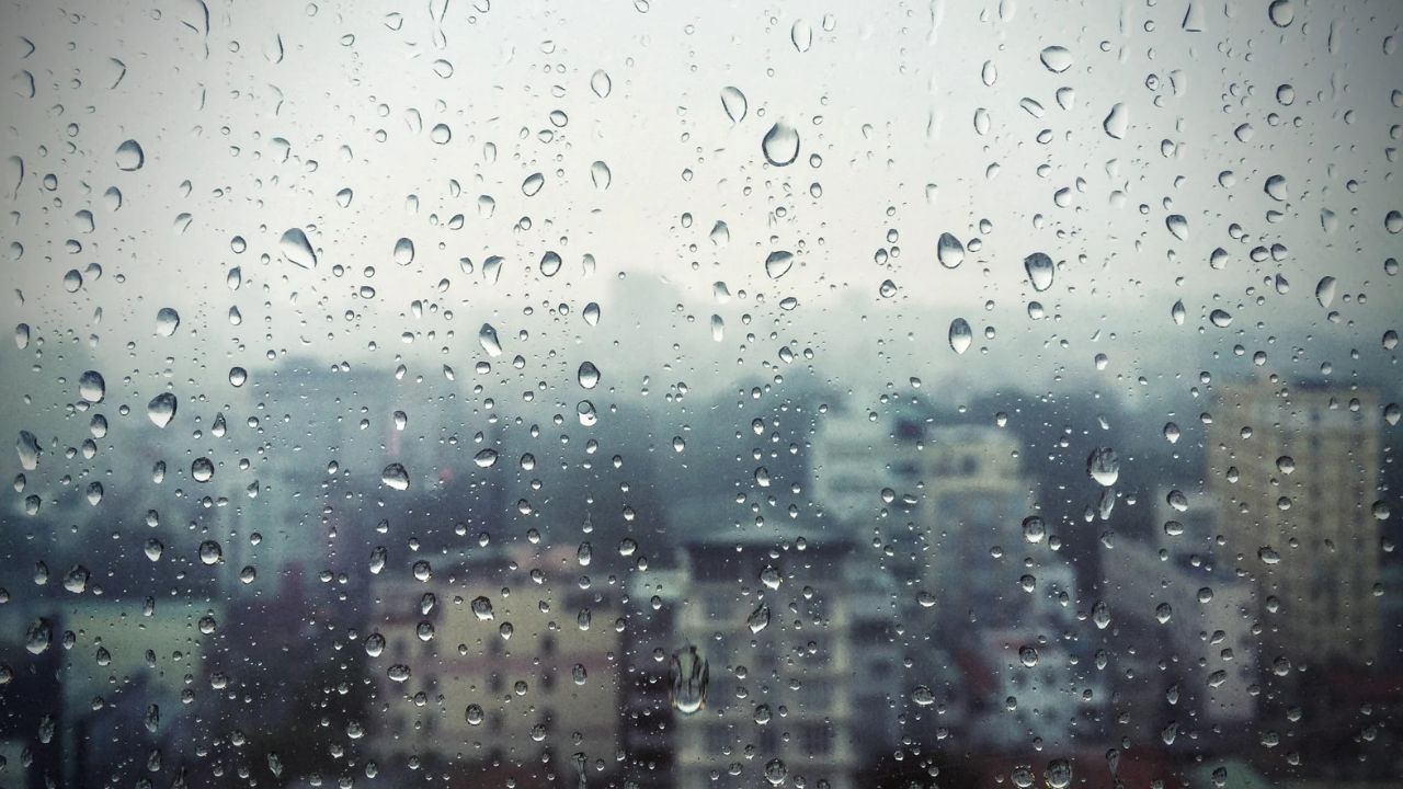
Dave Heffernan was halfway through mowing his lawn in Chermside on Sunday afternoon when the sky turned the colour of a bruise. Ten minutes earlier it had been clear enough to see Mount Coot-tha from his back fence. By the time he’d wheeled the mower under the carport, the first fat drops were hitting the Hills Hoist and his neighbour was already out dragging her washing in.
That’s been the story of Brisbane’s weather for weeks now, and this weekend is shaping up the same way. Sunny one hour, soaked the next, and nobody quite trusts the forecast past lunchtime.
The Bureau of Meteorology’s outlook for this coming Saturday and Sunday has Brisbane sitting right in that familiar spring pattern: a top of around 26 degrees on Saturday with rain odds sitting near 70 percent, easing slightly on Sunday to a top of 28 and a lower but still real chance of showers, somewhere around the one-in-three mark. It’s not a washout. It’s not a clear run either. It’s the kind of weekend where you plan the picnic and pack the umbrella in the same bag.
So what’s actually going on? Brisbane’s spring storm pattern comes down to warm, moist air building up over the day and colliding with a cooler change pushing in off the Great Dividing Range. Mornings tend to start clear and mild, the humidity climbs through midday, and by mid to late afternoon you’ve got the ingredients for a pop-up storm cell. Some days it misses the city entirely and dumps on Ipswich instead. Other days it parks itself right over New Farm for twenty minutes and then vanishes. That’s why your weather app can say 85 percent and you still get an entirely dry afternoon, or say 15 percent and you’re caught without a jacket at the Eagle Street markets.
This week’s run of numbers shows exactly that swing. Wednesday and Thursday both sat up around 85 percent chance of rain, with tops pushing past 30 degrees, the classic build-and-break pattern. Friday dropped right off to a 15 percent chance as a brief dry change moved through. Then the weekend brings the humidity creeping back, which is why Saturday’s sitting higher again before Sunday eases off a touch. By Monday the models are tracking another wetter day, so if you’re the type who plans two weekends ahead, don’t put the outdoor birthday party in the diary for next Monday either.
For anyone with weekend plans that depend on dry ground, here’s the practical read. Morning activities are the safer bet right now. If you’re taking the kids to South Bank’s Streets Beach or heading up to Mount Coot-tha lookout, get there before 11am while the air’s still cool and the storm cells haven’t had time to build. Markets, farmers’ stalls, and anything at Howard Smith Wharves tend to run fine until early afternoon and then get patchy from around 2pm onward. If you’ve got something booked for late afternoon or early evening, like a sunset picnic or an outdoor dinner booking, have a plan B that doesn’t involve standing under a tree. Brisbane storms can bring lightning fast and hard even when the rain itself only lasts fifteen minutes.
It’s also worth knowing what a severe thunderstorm warning actually looks like here, because they come often enough in November that it pays to recognise the real deal. The Bureau issues these when a storm is expected to produce large hail, damaging winds, or heavy rainfall capable of flash flooding, and they’re usually pushed out an hour or two ahead rather than as the clouds roll in. If you get one of those alerts on your phone on a Saturday afternoon, that’s worth more than the general forecast percentage. Pull the washing in, move outdoor furniture away from fences, and if you’re driving, know that flash flooding on low-lying roads around places like Oxley Creek and parts of Rocklea can come up faster than people expect.
None of this means write the weekend off. Brisbane in spring just asks you to build in a little flexibility. A lot of locals have started doing the same thing: book the outdoor stuff for the morning, keep an indoor option in the back pocket for the afternoon, and check the radar rather than the seven-day icon before deciding whether the picnic rug comes out of the cupboard.
If you do get caught, you’re not alone. Half of Brisbane’s group chats this spring have turned into informal weather stations, people texting photos of black skies over their suburb twenty minutes before it actually hits yours. It’s not a bad system. The storms tend to roll in from the southwest, so if someone in Ipswich or Springfield is already posting lightning videos, chances are the city’s got half an hour before it arrives too.
For the weekend ahead specifically, Saturday looks like the trickier of the two days, with that higher rain chance sitting alongside the warmer top. If outdoor plans matter more to you than a late sleep-in, Saturday morning is the window. Sunday’s drier odds make it the better bet for anything you’d rather not reschedule, though a top near 28 with humidity back up means it’ll still feel heavy by mid-afternoon even without rain falling.
Either way, keep an eye on the radar rather than just the forecast summary this weekend. Brisbane’s storm season doesn’t run on a fixed schedule, and the difference between a dry afternoon and a drenched one often comes down to which side of the river you’re standing on.